
 Date: Thursday, January 30, 2014
Time: 3:00-5:00 PM
Location: Rubenstein Library instruction room (Perkins 318)
A BorderWork(s) Lab event.
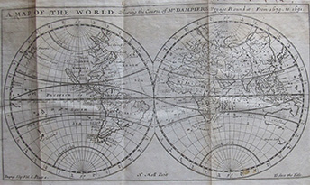
When most people think of maps and books they immediately imagine maps, or atlases. Yet maps illustrate and contribute to a larger argument in books of all kinds, including histories, geographies, travel accounts, and novels. Beyond atlases, maps are often studied or collected as individual items, or “sovereign” maps, in the words of French scholar Christian Jacob. This discussion dethrones the sovereign map, asking what changes theoretically and curatorially when we think about maps as “bound images” and a graphic part of the story told by authors and printers in book form.
Panelists:
Carla Lois, CONICET, Universidad de Buenos Aires
Matthew Edney, University of Southern Maine, History of Cartography Project
Ricardo Padron, University of Virginia
Susan Danforth, John Carter Brown Library
Jordana Dym, Humanities Writ Large/BorderWork(s) Lab, Duke; Skidmore College
A range of bound cartographic materials from the Rubenstein Library’s collections will be on display. For more information, see here on the BorderWork(s) Lab website.
Sponsored by the BorderWork(s) Lab at the Franklin Humanities Institute and Humanities Writ Large.